5.00
(18.00)
Lisa Dwi Saryani
4 Courses • 412 Students
5.00
(18.00)
Biography
Geodetic Engineer | Surveyor Pemetaan Ahli Pertama
Geospatial Modeling & Survey Expert
- Geographic Information System (GIS)
- Remote Sensing (RS)
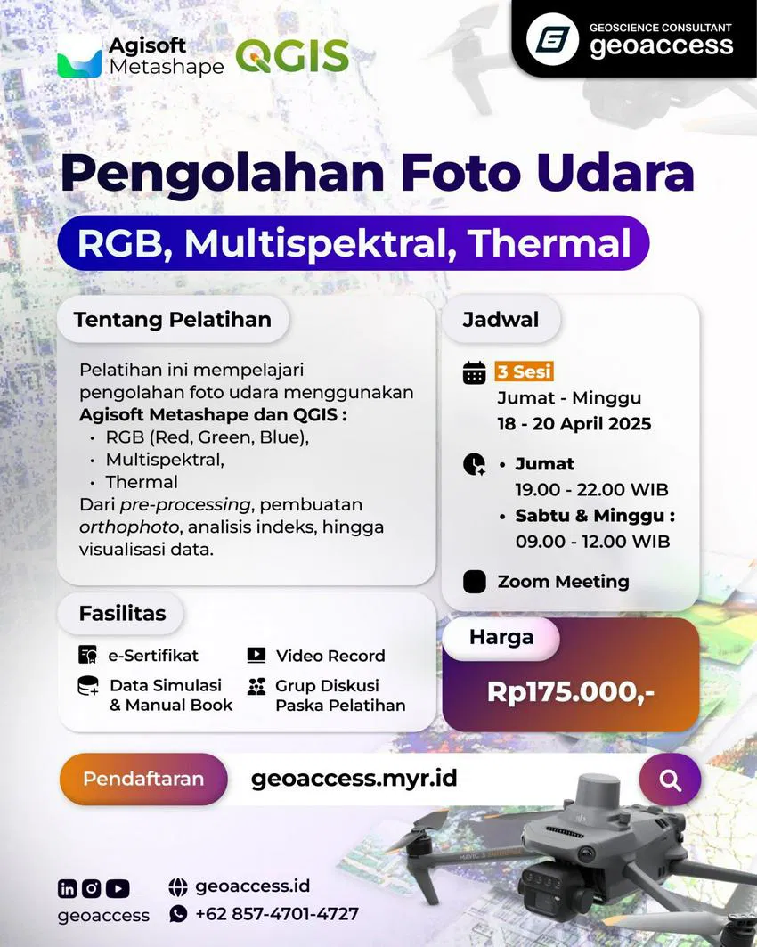
- UAV Mapping & Photogrammetry (RGB, Multispektral, Thermal)
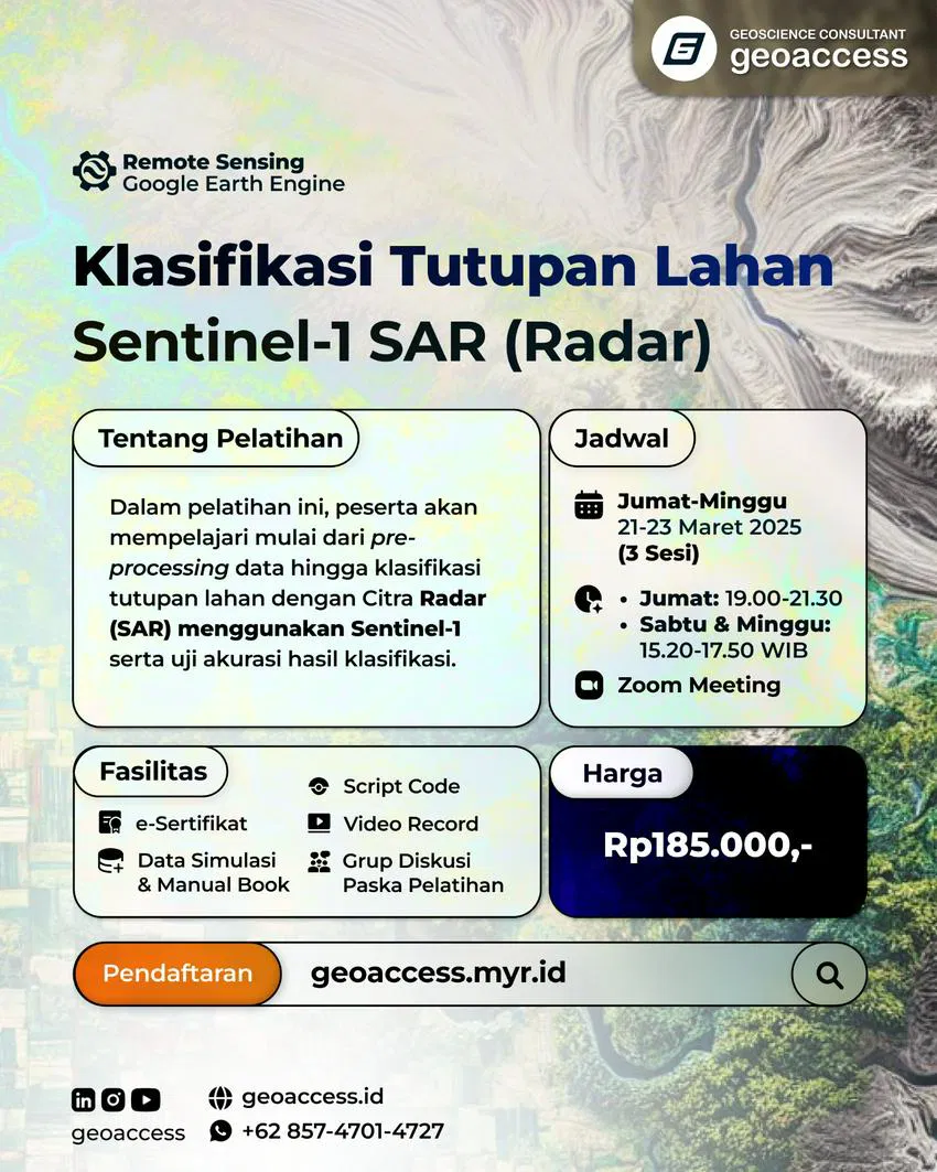
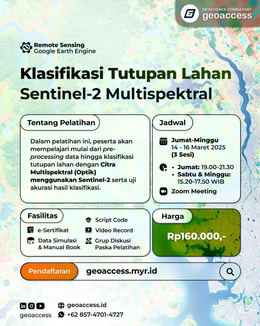
- Radar & Multispektral Analysis (Sentinel, Landsat)
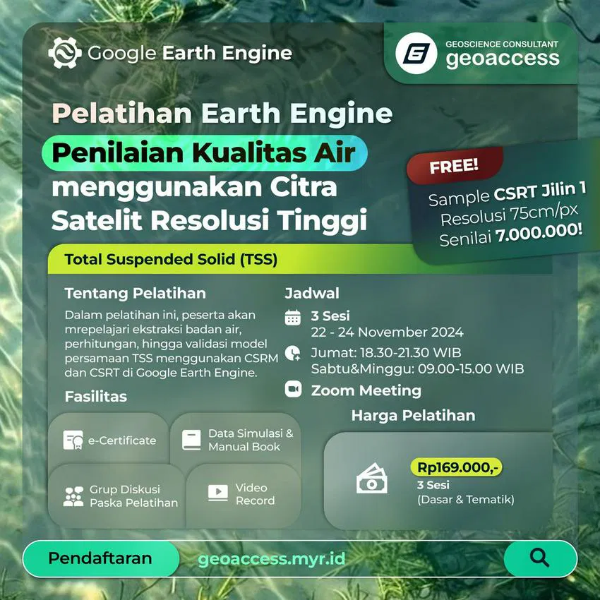
- Google Earth Engine (GEE) for Environmental Monitoring
Penguasaan Software Teknis
ArcGIS Pro, QGIS, Google Earth Engine, Agisoft Metashape, SNAP, Pix4D


